
Hiking the Rugged North Chickamauga Creek Gorge
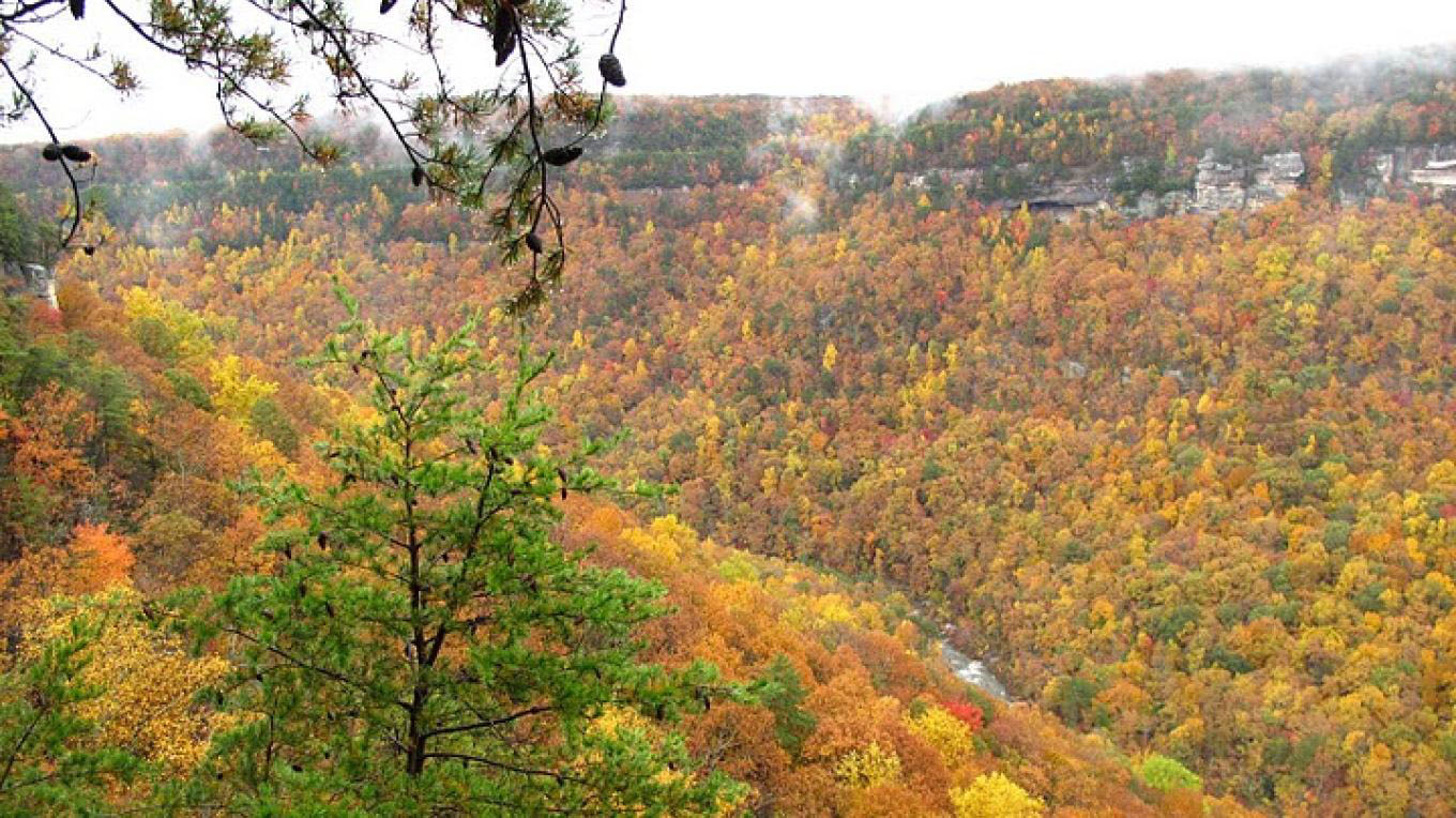
The spectacular 10-mile-long North Chickamauga Creek Gorge winds its way through Walden’s Ridge within a 7,093 acre unit of the Cumberland Trail State Park. Located about 15 miles from downtown Chattanooga, the lower section of the gorge is a very popular summertime swimming destination, as well a playground for kayakers when water levels are adequate.
Once a Bowater Pocket Wilderness, the land was transferred to the state in 2006 as a designated state natural area. The rich diversity of plant and animal life there includes 10 state or federally listed plants, such as the large-flowered skullcap and the Virginia spiraea. The gorge is also home to mountain laurel, rhododendron, and a variety of wild azaleas. Bald eagles and peregrine falcons are among the wildlife inhabiting the area.
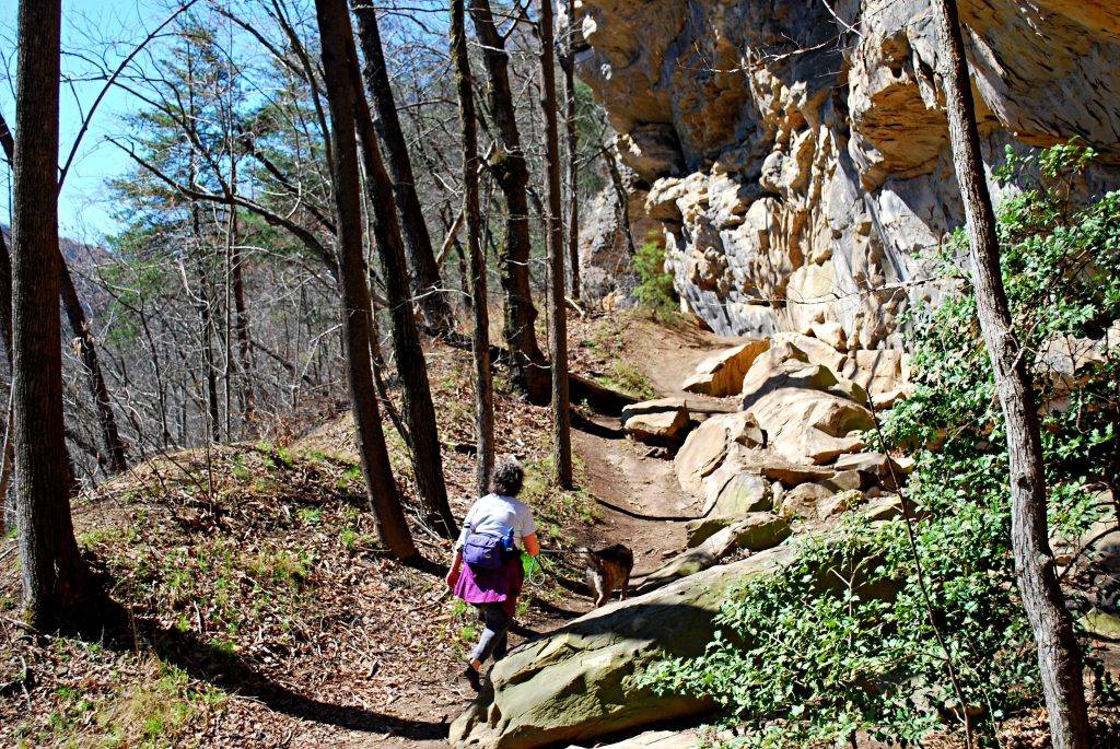
Recommended Hike: A recommended hike is a rugged 4.2-mile round trip trek from the parking area to the Boston Branch Overlook. After starting alongside fast flowing North Chickamauga Creek, at the junction of the upper and lower routes of the Hogskin Loop in 0.1 miles, taking the trail to the right will be a slightly easier climb to the base of the bluff near the top of the mountain.
Continuing along the base of the bluff on the route of an old mining road, you’ll pass a couple of waterfalls, the foundations of an old coal tipple, and an old mine entrance (remnants of the area’s coal mining days). The trail becomes more rugged, with a lot of short ups and downs, impressive overhanging bluffs, and views of the gorge.
This section is part of the Cumberland Trail, which when completed will stretch 282 miles from the Tennessee River Gorge to Cumberland Gap, on the border of Tennessee, Virginia, and Kentucky. It is also part of the planned Great Eastern Trail, an alternative to the Appalachian Trail which is intended to ultimately run from Florida to New York. Eventually, shortly after climbing a long set of wooden stairs and having gained about 600 feet in elevation, you come the Boston Branch Overlook, considered one of the best views of the gorge.
On the return hike, watch for the junction with the Lower Hogskin Loop on the right, 0.6 miles before reaching the trailhead. After a steep descent, this 0.7 mile trail follows alongside North Chickamauga Creek. A side trail leading to a creek crossing then follows the creek upstream on the other side, accessing numerous blue holes, popular summer swimming destinations.
Parking fills up quickly, so consider going early in the day or on a week day. Gates are open daily 8 a.m.-7: p.m. ET. Plans are in the works to construct a ranger station/visitor center at the trail head.
The 9-mile Flipper Bend Loop and the Clear Branch Loops, which branch off from it, provide additional hiking options atop the plateau on the opposite side of the gorge. Learn more about these trails here.
Directions and more information:
Taking Dayton Pike north from Chattanooga, turn left onto Montlake Road. In about 1 mile, look for the North Chickamauga Creek Gorge trailhead on the left. GPS: 35.235430,-85.232658 Or, search North Chickamauga Creek Gorge Trailhead on Google Maps.
Click here for a detailed trail description and map.
For more information about Cumberland Trail State Park, visit the park’s website or call 423-566-229.
Article by Bob Butters, The Nickajack Naturalist
Recent Posts

 Discover Ten Mile, Tennessee: The Hidden Lakefront Gem of Meigs CountyOctober 23, 2025
 Discover Copperhill, Tennessee: History, Train Rides, and Riverfront CharmJuly 28, 2025
 Discover Calhoun: Tennessee’s Hidden Riverfront GemJuly 10, 2025
 Murals in Southeast TNJuly 7, 2025
 North Chickamauga Creek Gorge State ParkJanuary 14, 2025