Great Stone Door Hikes ~ South Cumberland State Park
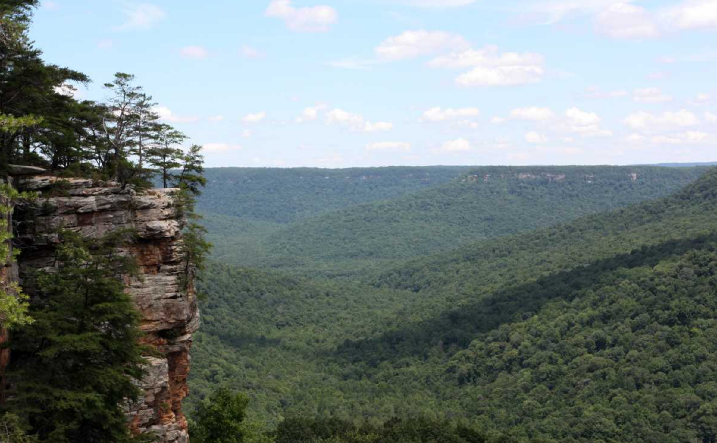
South Cumberland State Park, Tennessee’s largest at over 30,800 acres, is comprised of nine units scattered over four counties. The largest of these units is the 18,000-acre Savage Gulf State Natural Area in Grundy County. Owned by the state since 1973, it protects one of the last-known stands of virgin timber in the eastern U.S. and contains approximately 55 miles of hiking trails. Several trails, providing a half-dozen or more hike options, can be accessed from the Stone Door Ranger Station.
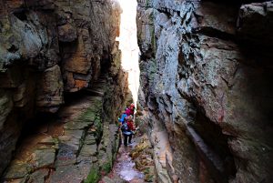
 One of the area’s primary geologic attractions, the Great Stone Door is a 10-foot-wide, over 100-feet-deep crack in the sandstone bluff that rims Big Creek Gulf. Along with Savage and Collins Gulfs, Big Creek Gulf helps form a crow’s foot-shaped maze of canyons, or “gulfs” as they’re known in this part of the country, which drains into the Collins River. The Great Stone Door has been used for centuries as a means for people and animals to get up and down over the bluff. Native Americans used it before the arrival of European settlers. It’s also rumored that bison used it when they inhabited the Cumberland Plateau before the mid-18th century.
Hikes available from the Stone Door trailhead range from less than half a mile on wheelchair-accessible pavement to long, strenuous backpack treks and various levels in between.
Stone Door Trail
At just less than a mile each way, this easy trail, paved for the first 0.2 miles to the Laurel Gulf Overlook, passes a walk-in campground and takes you to the Stone Door Overlook, with its expansive gulf views.
Big Creek Rim Trail
Beginning at the Stone Door, this trail follows fairly close to the bluff for 3.2 miles to the Alum Gap Campground, passing several scenic overlooks along the way, and is an 8.2-mile out-and-back hike.
Big Creek Gulf Trail
Dropping down through the Stone Door, this 4-mile trail has a somewhat-rugged descent to the bottom of Big Creek Gulf, then follows Big Creek, eventually ascending out of the gulf using an old logging road for a more gradual climb, ending near the Alum Gap Campground. From here, you’ll probably want to take either the Big Creek Rim Trail or the Laurel Trail back to your starting point.


Laurel Trail
At 2.9 miles, the Laurel Trail goes from the Stone Door Ranger Station to the Alum Gap Campground. It takes a more inland route, going through less dramatic, slightly rolling forest terrain. The Laurel Trail makes a good return option for either the Big Creek Gulf Trail or the Big Creek Rim Trail. For the latter, that would make a 7-mile hike.
Connector Trail to Cator Savage Cabin and Sawmill Campground
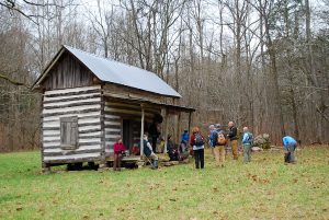
 For those looking for an even more rugged hike, the Connector Trail splits from the Big Creek Gulf Trail 0.9 miles below the Stone Door and crosses the area where the three gulfs meet and where the Sawmill Campground is located. Cator Savage’s cabin makes a good destination for an 8.6-mile round-trip day hike. Cator Savage, a descendant of Samuel Savage, for whom the gulf is named, built his cabin around 1910.
Recommended Shorter Hike
For those looking for something more level and in the 5-mile range, I recommend taking the Big Creek Rim Trail for 1.6 miles beyond the Stone Door to the Sinks Overlook and returning via the same route. The overlook is unmarked on the trail but is shown on the trail map and is hard to miss, as it’s directly on the trail.
Finally, an added bonus to any of these hikes would be to take the 0.3-mile loop trail from the ranger station to Laurel Falls.
For more information about the park, visit the Friends of South Cumberland website.
Trail maps can be picked up at the Stone Door trailhead, as well as at the South Cumberland State Park Visitors Center in Monteagle.
Article written by Bob Butters


