Watery Fun at Grundy Lakes
Chances are you’ve never been there, but Grundy Lakes, located on the outskirts of Tracy City, is a great place to experience nature and history close-up on a short hike. At 162 acres, this lesser-known day-use unit of the South Cumberland State Park is well worth a visit.
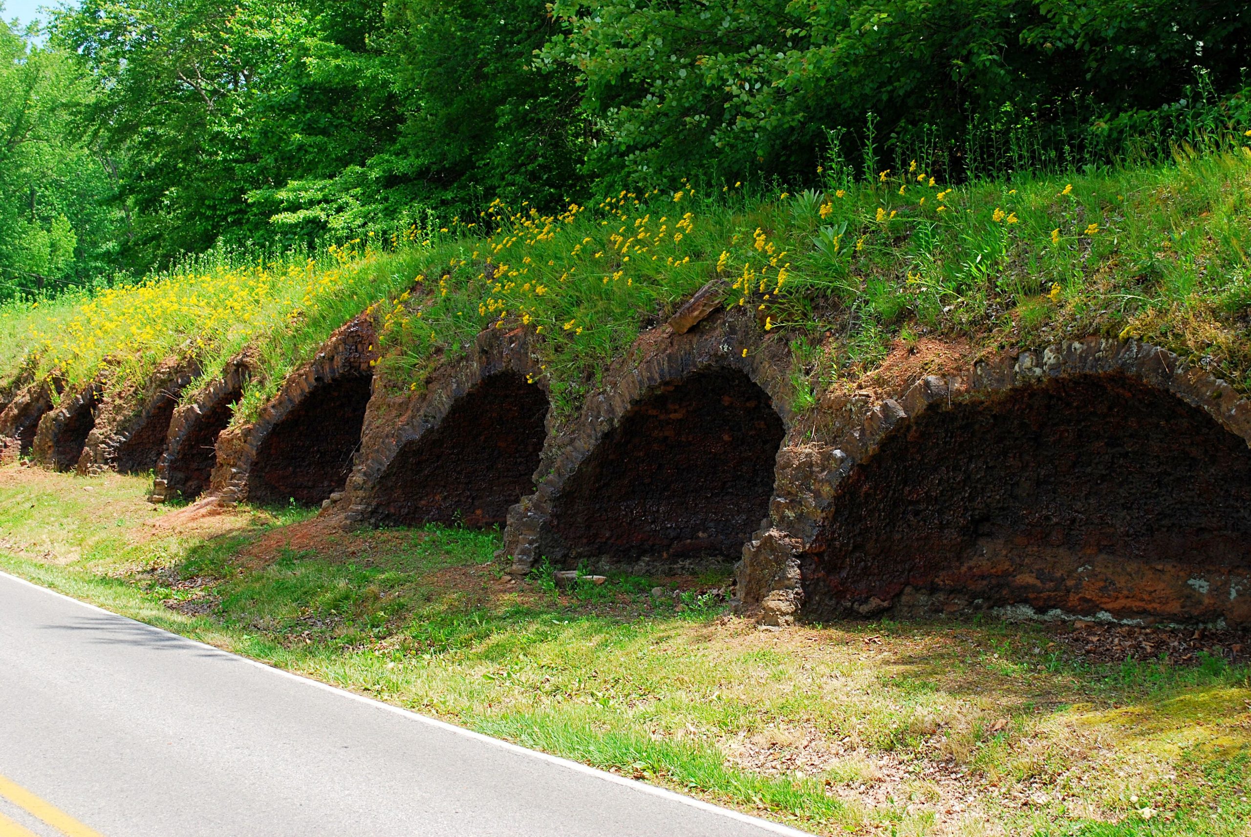
In addition to natural features, the park contains the ruins of 130 coke ovens, which were built in 1883 by the Tennessee Coal, Iron and Railroad Company and operated until 1896 using convict labor. The ovens turned coal from local mines into coke, to be used in the steel industry in nearby South Pittsburg. In the 1930s, the Civilian Conservation Corps worked to reclaim the environmentally devastated land and turn it into a recreational attraction, by creating the lakes, planting trees, and building recreational facilities. Today, the area is listed on the National Historic Register.
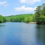
The focal point of recreation is four man-made lakes ranging in size from 1 to 16 acres. Although situated atop the Cumberland Plateau, the lakes are surrounded by forested hillsides rising up another 150 feet or so in elevation. A one-way paved road with a walking lane circles the two largest lakes, providing an easy 1.7-mile walk on pavement. For the more adventurous, there is the 1.3-mile Lone Rock Trail, which circles the lower lake.
Although the trails can be accessed from a number of locations, a good starting point is the main parking lot, on the left by the lower lake shortly after entering the park. A bathhouse, picnic area, playground and unsupervised swimming beach are adjacent to the parking area.
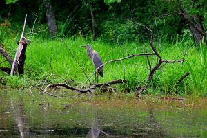
Walking along the exit drive from the parking lot, you’ll soon come to a small footbridge crossing a stream on the left. Immediately after crossing the bridge, a short trail on the right will take you up to the paved loop with its walking lane. Going left on the Lone Rock Trail, you’ll hug the shoreline of the lake, likely getting a glimpse of Canada geese or great blue herons.
Eventually, the trail leaves the lake and climbs the hill up to the dam of the upper lake. Here, the trail crosses on the top of the dam, or you have the option to add a half-mile or so by taking the paved loop around the upper lake and rejoining the trail on the other side.
A small parking area near the dam is a good alternate starting point. A couple of large springs across the road at the upper end feed into the lake. This is the beginning of Little Fiery Gizzard Creek, which eventually flows into the nearby Grundy Forest State Natural Area.
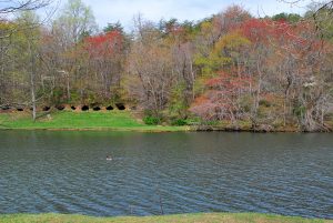
Rejoining the Lone Rock Trail on the other side, it drops down a lengthy set of wooden steps and once again follows close to the lower lake. At one point, you have the option of passing in front of a row of coke ovens that overlooks the lake or taking the main trail a little farther inland. Just before crossing the lower dam, the trail merges with the paved road. If you’ve taken the paved route rather than the trail on this side, you’ll have passed another picnic area with a playground, basketball courts and an exercise station.
Having crossed the dam, the Lone Rock Trail continues across the highway, climbing up the hillside a bit and eventually coming back down to the road across from the main parking lot exit. Another option you have is to follow the relatively flat and straight trail that cuts along an old railroad bed behind the row of coke ovens lining the highway.
Across the highway in the northeast corner of the park are two smaller lakes and another picnic area. A few years ago a new trail was added to an existing trail, which follows the shoreline of the larger of the two lakes, creating a 1-mile trail called the Miners Loop. (Note: this trail doesn’t get a lot of use and can be challenging to follow.) It connects to the Lone Rock Trail just before it crosses the road back to the main parking lot.
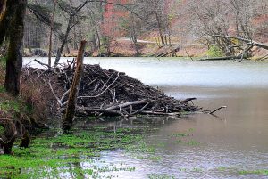
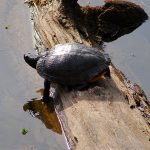
Walking or driving the road as it follows close to the shore of the upper lake provides good chances to see wildlife such as wood ducks, turtles, frogs and fish, as well as the work of beavers. A prominent beaver lodge can be seen on the right-hand shore. A Canada goose has been known to nest on top of it. The shallow upper end of the lake is popular with dragonflies and damselflies. Wood ducks, often with young ducklings in spring, tend to be less elusive than usual here.
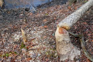
Beavers are also active in the smaller lakes in the northeast corner. The stumps of freshly felled trees and shrubs can be seen near the shorelines, and there is a large beaver dam just upstream of the upper lake, near the road.
Grundy Lakes is a great, albeit underrated, place for birding in general, with kingfishers, red-headed woodpeckers, green herons, and mallards among the many species that can be spotted. White-tailed deer are commonly seen on the wooded hillsides.
Fishing is allowed in the lakes. South Cumberland State Park hosts a number of outdoor activities at Grundy Lakes, including a variety of hikes, canoe floats, and more. Check for currently scheduled activities here.

Directions and more information
Grundy Lakes is located on Lakes Road, just off U.S. Highway 41 on the east side of Tracy City. The easiest way to get directions is to enter “Grundy Lakes at South Cumberland State Park” in the search box on Google Maps. Click here for a topographical map of the Fiery Gizzard Trail. Look for Grundy Lakes at the top edge of the map.
Learn more about the history of Grundy Lakes here.
For more information about South Cumberland State Park, visit the park’s website or www.friendsofsouthcumberland.org.
Article by Bob Butters, Nickajack Naturalist


