Hike to Raven Point ~ South Cumberland State Park
If you’d like to experience the nationally acclaimed Fiery Gizzard Trail but aren’t quite up to the 13-mile through hike, a 9.6-mile round-trip hike to Raven Point is a popular option. The hike begins at the northern end of the trail, located in Grundy Forest, one of the jewels of South Cumberland State Park.
 The Grundy Forest State Natural Area was originally the site of a camp in the 1930s for the Civilian Conservation Corps, who built the picnic shelter at the trailhead, and was later operated as Grundy State Forest. The tract contains the very upper reaches of the Fiery Gizzard gorge and the newly restored Civilian Conservation Camp Interpretive Area. The Fiery Gizzard Trail begins to the left of the parking area, next to a kiosk with maps and sign-in sheets. The trail immediately drops sharply to the level of Little Fiery Gizzard Creek, changing from a plateau-top environment to a world of boulders, swift-flowing water, hemlock trees and a diversity of other plant life, and fresh-smelling air.
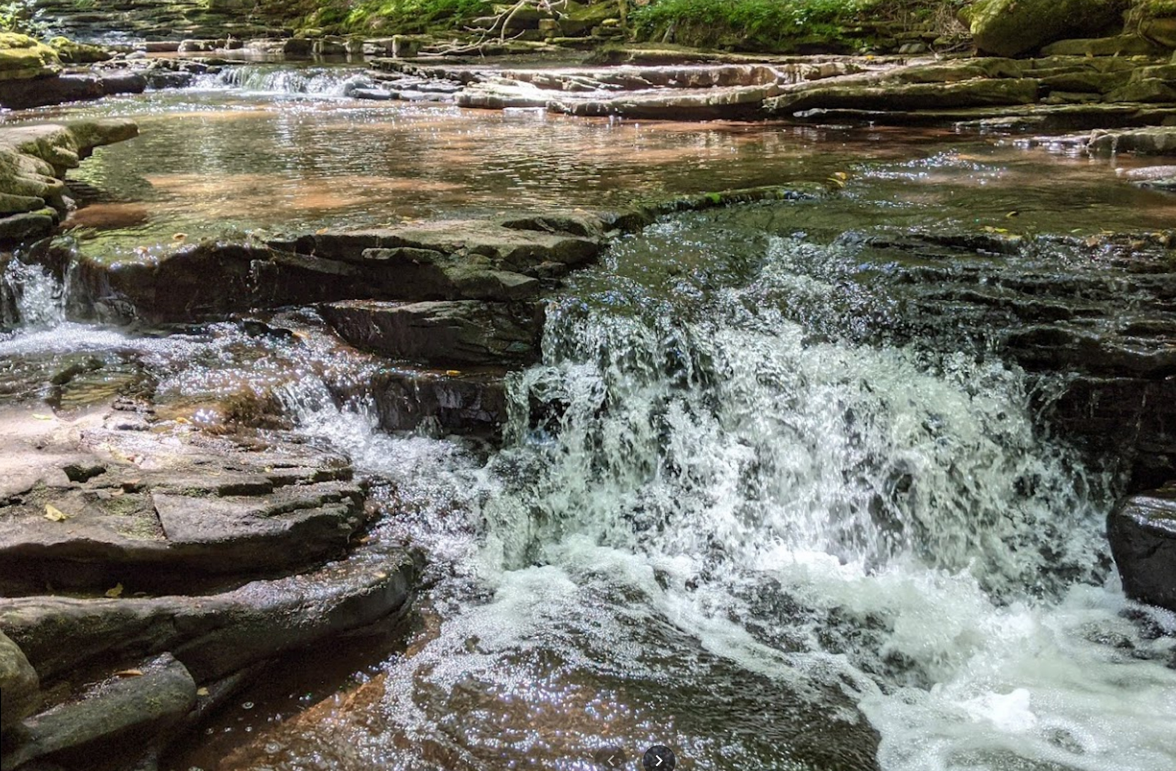
You’ll soon come to a large bluff overhang known as Cave Spring Rock House, next to which grows a 500-year-old hemlock tree. A short distance farther, you’ll cross a small stream with the 20-foot-high School Branch Falls uphill on the right. Shortly past this is Blue Hole Falls, a beautiful 10-foot waterfall with a 7-foot-deep plunge pool.
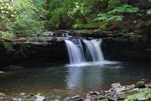 In another 0.2 miles, you’ll come to an intersection, with the Grundy Forest Day Loop continuing straight ahead, while you’ll turn left to follow the Fiery Gizzard Trail, crossing a bridge over the creek, then turning right and continuing along the creek downstream. You’ll soon spot the merger of the Little and Big Fiery Gizzard creeks and pass the impressive Black Canyon Cascade.
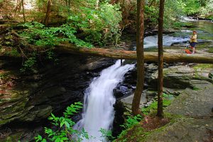 When in another 0.3 miles the trail passes the Chimney Rocks, a row of five rock towers ranging from 25 to 60 feet tall, you’ll know you’re about to reach a short spur trail on the right, which leads to Sycamore Falls. This 12-foot falls has a popular swimming hole with it. In wetter times, a small but much higher unnamed falls flows down the rock face on the opposite side. A popular short hike option is to return to the trailhead from here and take the other side of the Grundy Forest Day Loop on the way back, making for a 3.3-mile hike.
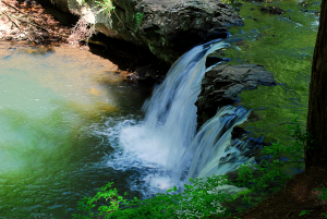 After leaving Sycamore Falls and continuing down the Fiery Gizzard Trail for another 0.2 miles, you’ll come to the intersection with the Dog Hole Trail. While you can continue on the Fiery Gizzard Trail for another 2.2 miles, culminating with an arduous climb to Raven Point, this is a quite rocky section of trail and I recommend taking the much easier Dog Hole Trail instead. The trail immediately climbs out of the canyon, passing a dog hole mine (hence the trail’s name) at the base of the bluff, then crossing the pipeline you crossed earlier two more times. Once on top, the Dog Hole Trail follows near the bluff all the way to the trail intersection near Raven Point. Along the way, it passes a short spur trail to Yellow Pine Cascade.
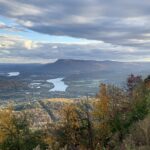
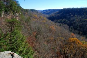
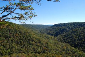
At about 1.9 miles from the beginning of the Dog Hole Trail, look for the spur trail on the right to Werner Point Overlook. Not as well-known as Raven Point, it provides an impressive view of the Fiery Gizzard canyon and is a worthy hike destination in its own right if you prefer a shorter, 7-mile round-trip hike.
At the intersection which marks the end of the 2.8-mile Dog Hole Trail, the main Fiery Gizzard Trail comes from the right and continues straight ahead. Turn right to take the trail for 0.5 miles to your destination, the spectacular overlook at Raven Point.
 On the return hike, upon crossing the bridge over Little Fiery Gizzard Creek, you have the option of turning left onto the Grundy Forest Day Loop. This route is 0.6 miles farther than the way you came in, but much of it is easier walking. The trail soon comes to the junction of the two creeks, then follows alongside Big Fiery Gizzard Creek for 0.3 miles.
A short climb takes you back onto the plateau top for the final 0.9 miles to the trailhead.
View Fiery Gizzard trail maps here and here.
Learn more about South Cumberland State Park.
Article by Bob Butters


