Raccoon Mountain Trails
Hiking and Biking Raccoon Mountain
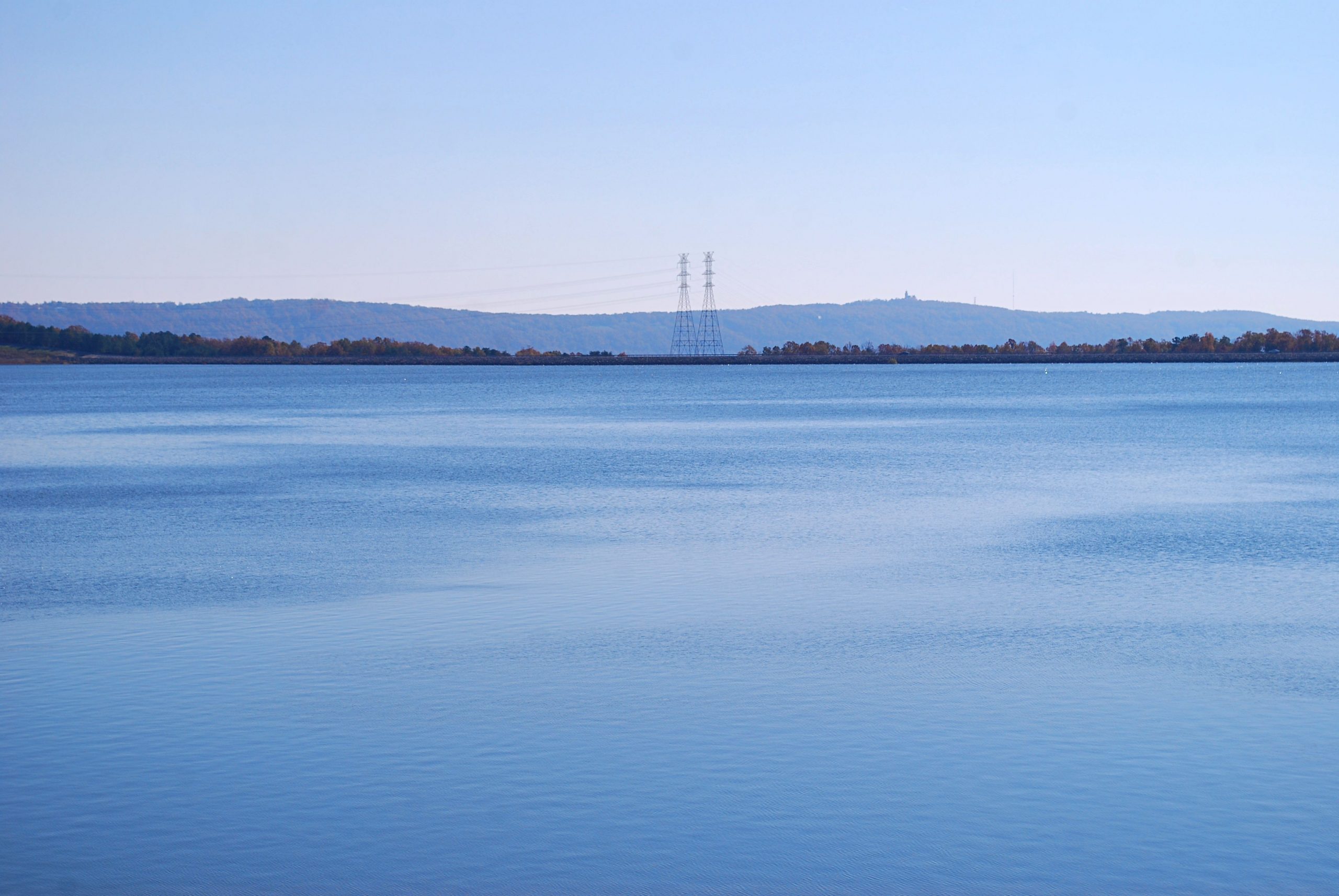
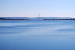
Just west of downtown Chattanooga, the Raccoon Mountain pumped-storage project is TVA’s largest hydroelectric facility. In operation since 1978, the plant acts as a large storage battery. When demand for electricity is low, water is pumped from the Tennessee River to a 528-acre lake on top of the mountain, then when demand is high, released to a power plant buried deep under the mountain and what was originally the four largest reversible-pump turbines in the world. The mountain top lake is held in place by the largest rockfill dam ever built by TVA, spanning a length of 8,500 feet and a height of 230 feet.
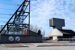
The land TVA owns around the lake on Raccoon Mountain is a designated Wildlife Observation Area, with a primary attraction being a wintering population of bald eagles, which can often be seen around the lake or soaring above the Tennessee River Gorge. An overlook at the visitor center provides a breathtaking view of the gorge.
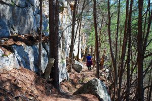
Today, Raccoon Mountain features nearly 30 miles of multi-use trail available for mountain biking, hiking and trail running. The local chapter of the Southern Off-Road Bicycle Association, SORBA Chattanooga, has been constructing and maintaining an extensive trail system on the mountain since 2005.
At the Laurel Point picnic area, one of the primary parking areas for trail users, you’ll find restrooms and a large kiosk with a trail map and information about the pumped-storage project, as well as changing rooms and a bike wash and repair stand.
A couple of recommended routes
A good introduction to the trail system is an approximately 3-mile loop in the Laurel Point area that uses the original trail built on Raccoon Mountain, the River Gorge Trail, along with a section of the Electric Avenue 2 Trail.
Departing from a paved trail that runs through the picnic area, the River Gorge Trail follows fairly close to the bluff for about 1.5 miles, for the most part traversing gently rolling terrain.
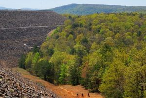
Before reaching the massive rock dam, the 2.6-mile Megawatt Trail continues, working its way across below the dam and on to the visitor center. Turning right, a short connector trail links to the Electric Avenue 2 Trail, which going right, eventually reunites with the River Gorge Trail. It’s quite flat compared to the other trails, making for easy travel. Several large interpretive signs along this section of trail have information and photos on the history of TVA and the development of the pumped-storage plant. This trail passes through thickets of pine trees, probably planted after the construction of the lake.
The High Voltage Trail
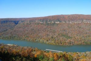
If you’re looking for a strenuous workout, you might consider a hike or bike ride up the High Voltage Trail. This approximately 8 mile round-trip trek begins near the Tennessee River and takes you to over 900 feet higher at the top of the mountain near Laurel Point.
Beginning across the road from the boat ramp parking area near the power plant’s intake/outlet structure, the 0.4-mile Boat Ramp Connector runs somewhat parallel to the road, with a modest 60 feet gain in elevation. Starting out a bit rocky, it soon becomes smoother.
At the first intersection, the Live Wire 2 Trail goes left, gradually ascending along the slopes of the mountain for 3.1 miles to Massengale Point. Turning right begins a 3.4-mile climb on the High Voltage Trail. The trail soon dips to cross the rocky and usually dry bed of John McNabb Branch and begins a series of switchbacks. For most of the way, it’s a fairly gradual ascent, with over 300 feet of the elevation gain occurring in the last section of trail.
On the High Voltage Trail, you’ll have views of the Tennessee River Gorge in winter that you wouldn’t have at other times. Much of the trail meanders along a relatively level area of mountainside known as a bench, then climbs more steeply near the top, with some grades reaching 20 percent. Along with a couple of series of switchbacks, there are stretches of trail following close to the base of rock bluffs.
After reaching the top of the mountain, the trail intersects with the Split Rock Trail, a 0.5-mile loop that connects to the Laurel Point Trail. At this point, you’ve climbed 1,486 feet and descended about 700 feet overall, which you’ll now do in reverse. You could potentially continue out to another trailhead on the Laurel Point Trail, but the trail meanders quite a bit and would be a much longer distance than you might expect.
Upon reaching the top, if you turn right on the Split Rock Trail and follow it a short distance, some large rocks on top of the bluff will make a good lunch spot with a view before retracing your route back down.
Raccoon Mountain is considered one of the top favorite mountain bike trail systems in Tennessee. It has a reputation of being technical, but trails range from beginner to expert level. Several parking areas provide a variety of route options.
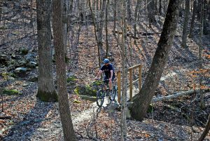
While the trails here are available for hiking and trail running, they were designed primarily for mountain bike use. Hikers officially have the right of way, but it’s a good idea to keep alert for bikers. Generally, even on days when there appears to be a lot of bikers on Raccoon Mountain, you may not encounter many simply because there are so many miles of trail on the mountain. One thing for hikers to note is that trails designed primarily for mountain biking may tend to follow a much more squiggly route than a typical hiking trail.
Dogs are also allowed on the trails, but should be kept on a leash. And on many of the trails, it’s a good idea to bring along water for them, as there may not be much along the way.
The paved road, which circles the lake and includes a one-way stretch traversing the top of the dam, can also be biked or hiked, creating more options.
TVA prefers that trail users not park at the visitor center, so there’s ample room for other visitors.
The area is closed after sunset.
Helpful links
More suggestions for mountain bike routes at Raccoon Mountain at RootsRated.com.
Google Map directions to the Laurel Point Picnic Area
More information about Raccoon Mountain, including directions, at www.tva.gov

Bob Butters


